If you need fast, visual, and measurable documentation of a property lot, Matterport 3D Tours can be a game-changer. While they don’t replace a licensed boundary or topographic survey, they provide an immersive, measurable site record that streamlines planning, estimating, and stakeholder communication.
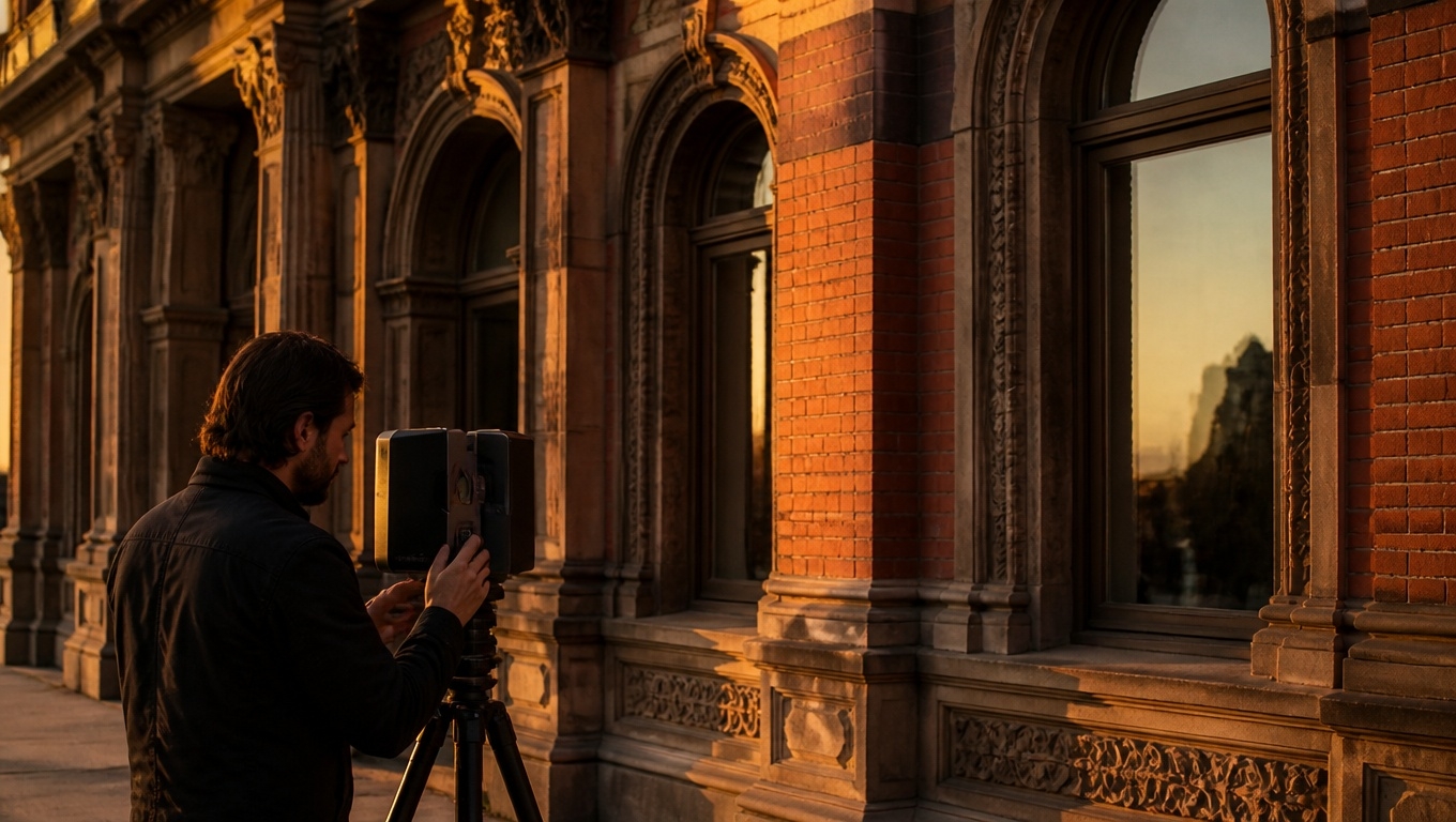
At Invision Studio, we tailor Matterport Pro3 captures for outdoor environments so you can confidently measure site features, verify setbacks, and calculate lot coverage from your browser. Our Matterport 3D Tour photographers recommend best practices throughout this guide to help you get the most reliable results.
Key Takeaways
- Measure property features quickly: Building footprints, hardscape, setbacks, and clearances are easy to review and measure in the tour.
- Not a legal boundary survey: Use licensed survey data for property lines and plats; Matterport is for documentation, estimates, and coordination.
- Export to CAD/GIS: E57 point clouds and MatterPak deliverables integrate with ReCap, Revit, Civil 3D, and more.
- Outdoor-ready with Pro3: Our Matterport 3D Tour photographers recommend the Pro3 for exteriors and larger site coverage.
- Improve reliability with simple steps: Scale checks, scan density, and optimal timing boost measurement consistency.
What You Can Measure on a Property Lot
Matterport excels at capturing ground-level context with measurements that help owners, contractors, and designers work faster.
- Building footprints and edges: Confirm exterior wall lengths, overhangs, and interfaces with paving.
- Setbacks and clearances: Approximate distances from structures to fences, sidewalks, or easement areas for preliminary checks.
- Lot coverage calculations: Measure patios, decks, driveways, and walkways to estimate impervious surface area.
- Hardscape and site features: Curbs, retaining walls, steps, planters, equipment pads, and utility boxes.
- Fence lines and gates: Document positions and widths for access planning.
- Tree and landscape features: Approximate trunk locations, canopy extents, and landscape bed dimensions.
- Access and staging areas: Verify turning radii, path widths, and laydown zones.
Our Matterport 3D Tour photographers recommend tagging critical features (meters, cleanouts, hydrants, shutoffs) inside the tour so the model doubles as a living site map.
How Accurate Are Measurements?
For many property-lot applications, Matterport can deliver consistent, centimeter-level relative measurements under suitable conditions—often within around 1% for practical distances. That said, it’s a visual documentation tool, not an instrument for legal boundary determination.
- Best for: As-built documentation, estimates, coordination, RFPs, and design verification.
- Use caution for: Vegetation-heavy areas, reflective surfaces, long unbroken distances in harsh sun, and anything requiring survey-grade accuracy.
Our Matterport 3D Tour photographers recommend performing two quick scale checks onsite (for example, measuring a known 10–20 ft reference with a tape wheel) to validate the model’s scale and note any variance in your report.
A Field-Tested Workflow for Measuring Lots
- Step 1: Pre-capture planning
- Identify the features you need measured: setbacks, hardscape areas, building interfaces, gates.
- Share any existing survey, plat, or site plan so we can align expectations.
- Our Matterport 3D Tour photographers recommend a simple feature checklist to ensure nothing gets missed.
- Step 2: Optimal capture
- Use Matterport Pro3 for outdoor range and alignment robustness.
- Early morning or late afternoon reduces glare and deep shadows.
- Increase scan density around critical areas (corners, transitions, retaining walls).
- Our Matterport 3D Tour photographers recommend clearing movable obstructions (vehicles, bins) from edges you need to measure.
- Step 3: Add metadata
- Apply Mattertags to label features, add notes, and link PDFs/specs.
- Use color-coding for utilities, access points, and safety hazards.
- Our Matterport 3D Tour photographers recommend tagging at corners or control points you’ll reference later in CAD.
- Step 4: QA and scale verification
- Perform quick on-site tape measurements of two well-distributed distances.
- Compare in-tour measurements; note any percentage variance.
- Our Matterport 3D Tour photographers recommend documenting the variance in your deliverables to inform downstream users.
- Step 5: Deliverables and integration
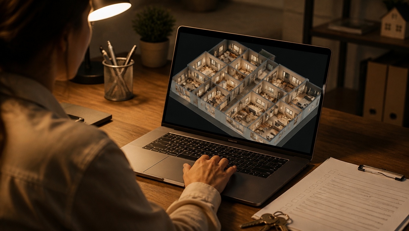
- Share the web-based tour for quick collaboration.
- Export an E57 point cloud or MatterPak if you’ll integrate with CAD/GIS.
- Our Matterport 3D Tour photographers recommend an E57 when you plan to overlay with a plat, compare to drone data, or build 2D/3D as-builts.
Techniques to Improve Measurement Reliability
- Scan density where it matters: Corners, curve transitions, and grade breaks benefit from closer scan spacing.
- Consistent vantage points: Keep a logical path to minimize occlusions and misalignments.
- Control the environment: Trim high grasses where possible; avoid midday glare; wipe wet surfaces if feasible.
- Use known dimensions: Door widths, curb modules, or marked tape lengths act as helpful reality checks.
- Combine with aerials: Pair with drone orthomosaics for lot-wide context and use Matterport for ground-level detail. Our Matterport 3D Tour photographers recommend capturing drone and Matterport on the same day to keep shadows consistent for easier cross-referencing.
Integrating Matterport with Survey, CAD, and GIS
Matterport’s strength grows when you connect it to the rest of your toolkit.
- Overlay with plats and surveys: Use the E57 point cloud to compare visual reality against surveyed boundaries and setbacks.
- Bring into CAD/BIM: Import to Autodesk ReCap, Revit, or Civil 3D for tracing, area takeoffs, and coordination.
- GIS context: Associate features and tags with GIS layers for facilities and asset management.
- Reports and submittals: Export stills and panoramas as annotated exhibits for planning boards and HOA packages.
Our Matterport 3D Tour photographers recommend naming conventions and layer notes that match your CAD standards so handoffs stay clean.
Limitations to Keep in Mind
- Not a boundary survey: Use licensed surveyors for property lines, legal descriptions, and final topo.
- Vegetation and reflectivity: Dense brush, water, and mirrors/glass can impact capture fidelity.
- Extreme distances and lighting: Very bright conditions and long, featureless spans may reduce precision; mitigate with timing and scan density.
- Subsurface or hidden features: Matterport won’t reveal what’s below grade or behind obstructions.
Our Matterport 3D Tour photographers recommend scheduling after lawn maintenance and before heavy site activity to minimize occlusions.
Quick FAQs
- Can I measure setbacks in Matterport?
- Yes, for preliminary checks and coordination. For enforceable setbacks tied to boundaries, rely on a licensed survey.
- How do I calculate lot coverage?
- Use the measurement tools to trace areas of hardscape and structures. Our Matterport 3D Tour photographers recommend validating a few sample dimensions with a tape or wheel for confidence.
- What deliverables should I request?
- Web tour for collaboration; E57 for CAD/GIS integration; MatterPak for OBJ/point cloud/floor plan context. Our Matterport 3D Tour photographers recommend E57 when creating measured drawings or comparing to survey data.
- Will Matterport work on large lots?
- Yes, especially with Pro3 and a smart route. For very large parcels, combine with drone mapping and use Matterport for edges, near-structure details, and access points.
Work with Invision Studio
Invision Studio delivers outdoor-ready Matterport Pro3 captures designed for measurement on property lots. We handle planning, field capture, processing, QA, and exports—so your team can measure confidently, collaborate instantly, and cut down on site revisits.
Our Matterport 3D Tour photographers recommend a brief kickoff to align on measurement priorities, accuracy expectations, and deliverables before we scan.Ready to measure smarter? Contact Invision Studio to schedule your Matterport 3D Tour or request sample E57/MatterPak files.
Our Matterport 3D Tour photographers recommend booking early in your project timeline to capture the most critical site conditions at the right moment.