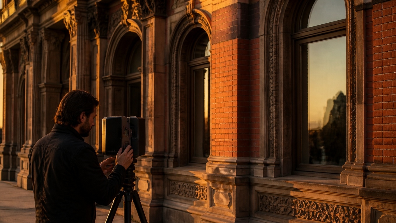
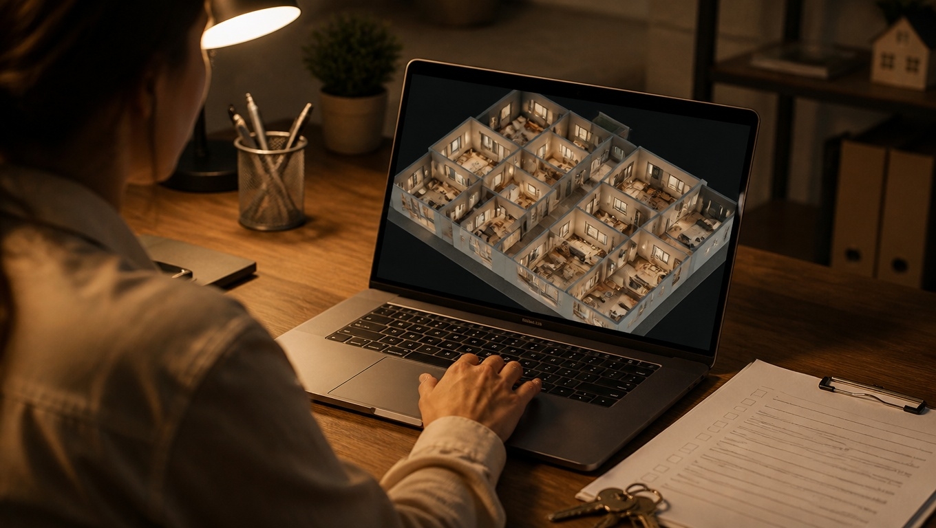
Looking to capture land conditions quickly, accurately, and in a way that every stakeholder can understand? Matterport 3D Tours aren’t just for interiors—they’re a powerful tool for site documentation, pre-construction planning, and land surveying workflows.
At Invision Studio, our experienced team leverages Matterport’s latest Pro3 technology to deliver immersive, measurable 3D models that help surveyors, engineers, and owners make faster, better decisions.
Key Takeaways
- Matterport 3D Tours create a shareable, immersive site record with measurements, notes, and media that anyone can access from a browser.
- Ideal for site documentation and coordination, not a legal boundary or plat substitute.
- Exports like E57 and MatterPak integrate with CAD/BIM/GIS workflows.
- Our Matterport 3D Tour photographers recommend Pro3 for outdoor sites, clear scan routes, and early-morning or late-afternoon captures for best results.
- Invision Studio provides end-to-end capture, processing, and deliverables tailored to land survey needs.
Why Use Matterport for Land Surveys and Site Documentation?
While traditional boundary surveys remain essential for legal purposes, Matterport adds a visual, measurable layer that speeds up workflows and reduces site revisits.
- Rapid, complete context: Walk the site virtually, revisit details anytime, and align teams remotely.
- Centimeter-level relative measurements in many scenarios: Useful for estimating distances, clearances, and layout checks.
- Ideal for RFPs and stakeholder reviews: Share a link instead of scheduling another site walk.
- Documentation over time: Scan phases to track progress, changes, or encroachments.
Our Matterport 3D Tour photographers recommend using Matterport alongside your conventional survey methods to add visual clarity and reduce field time.
How Matterport 3D Tours Fit Into a Land Survey Workflow
- Pre-survey reconnaissance: Explore site features before mobilizing a full survey crew. Identify access points, obstructions, utilities, and hazards.
- As-built site capture: Document existing conditions around structures, hardscape, and site improvements.
- Design coordination: Engineers and architects can take quick measurements, add notes, and align layouts with field reality.
- Dispute resolution and records: Maintain a verifiable, timestamped model of site conditions.
Our Matterport 3D Tour photographers recommend establishing your intended outputs (e.g., E57 point cloud vs. web tour only) before capture so we can optimize scanning density and routes.
Hardware, Accuracy, and Outputs That Matter
- Matterport Pro3 for outdoors: The Pro3’s LiDAR sensor handles exterior environments and longer ranges better than earlier cameras.
- Practical accuracy: Often within about 1% under suitable conditions and distances, with typical relative precision measured in centimeters. Great for site documentation—however, not a replacement for licensed boundary or topographic surveys.
- Deliverables we can provide:
- Web-based Matterport 3D Tour with measurement tools and tags
- E57 point cloud for import into Autodesk ReCap, Revit, Civil 3D, or other platforms
- MatterPak (OBJ, point cloud, floor plans for context)
- High-resolution panoramas and stills for reports
Our Matterport 3D Tour photographers recommend requesting an E57 if you plan to integrate the model into CAD/GIS or compare with drone-derived surfaces.
Use Cases Where Matterport Shines on Land Projects
- Site due diligence: Quickly capture existing structures, paving, curbs, retaining walls, and site furniture.
- Utility and easement context: Visually document above-ground utility features and easement areas for coordination with survey data.
- Construction planning: Verify access routes, staging areas, and clearances.
- Permitting exhibits: Provide clear visuals for planning boards and agencies.
- Insurance and risk: Keep a defensible record of pre- and post-activity conditions.
Our Matterport 3D Tour photographers recommend adding on-site tags for key features (hydrants, transformer pads, cleanouts) to make the tour function like a field map.
Best Practices Our Photographers Recommend
- Plan the scan path: Walk the site first and define a logical route to reduce occlusions and capture all relevant features.
- Time of day matters: Early morning or late afternoon scans reduce harsh shadows and blown-out skies, improving alignment and visual quality.
- Control the scene: Move vehicles, cones, or debris that block critical areas. Temporarily mark edges or transitions you want clearly visible.
- Density where it counts: Increase scan density in areas requiring more detail (e.g., building interfaces, retaining walls, equipment pads).
- Metadata and tags: Our Matterport 3D Tour photographers recommend using Mattertags to label features, link spec sheets, and add safety notes.
- Combine with aerials when possible: Pair with drone photogrammetry for orthomosaics and larger-area context; we can align ground-level Matterport with aerial products for a complete picture.
Matterport + Drone/GIS: A Powerful Combination
For larger sites, drone mapping creates orthomosaics, DSMs, and contours at scale. Matterport complements this by capturing ground-level, close-up context that drones can’t see under tree cover or overhangs. Together, they provide:
- Top-down accuracy (drone) + walkable ground detail (Matterport)
- Better cross-checking against survey control
- Stronger visual storytelling for clients and regulators
Our Matterport 3D Tour photographers recommend coordinating capture windows so shadows and site activity are similar across aerial and ground scans, improving cross-referencing.
What You’ll Get from Invision Studio
- Consultation: Scope, accuracy needs, and deliverables aligned to your workflow.
- Field capture: Professional operators using Matterport Pro3 and proven scan strategies.
- Processing and QA: Clean alignment, optimized navigation, and metadata/tags for clarity.
- Deliverables: Shareable tour links, E57/MatterPak files, still imagery, and optional drone integrations.
- Ongoing support: Updates, phased captures, and training your team to get the most from the tour.
Our Matterport 3D Tour photographers recommend scheduling a short onboarding call with your survey/engineering team so we can tailor naming conventions, layer structures, and export formats from the start.
Limitations to Keep in Mind
- Not a legal boundary survey: Use conventional survey methods for boundaries, plats, and final topographic maps.
- Vegetation and reflective surfaces: Dense brush, water, and glass can reduce point cloud fidelity; we’ll plan around these.
- Long distances and harsh sun: Extremely bright conditions or very long sightlines may affect detail; timing and scan density mitigate this.
Our Matterport 3D Tour photographers recommend pre-mowing tall grasses and avoiding mid-day, high-glare windows for best scanning results.
Quick FAQs
- Does Matterport replace a land survey?
- No. It’s a powerful companion for documentation and coordination but not a substitute for licensed boundary/topo surveys.
- How accurate is it?
- Often within about 1% under suitable conditions, with centimeter-level relative measurements for many site features. We’ll advise based on your use case.
- Can I use the data in CAD/GIS?
- Yes. We provide E57 and MatterPak deliverables compatible with Autodesk and other platforms. We can also coordinate with your drone/scan-to-BIM workflows.
- How do I prepare the site?
- Clear obstructions, schedule for optimal light, and share your target features. Our Matterport 3D Tour photographers recommend a simple feature checklist before capture.
Ready to Transform Your Land Survey Workflow?
Invision Studio blends field expertise with Matterport Pro3 technology to deliver clear, measurable, and shareable 3D site documentation that saves time and reduces risk. Whether you’re scoping a new project, coordinating trades, or creating a defensible record of conditions, we’ll tailor the deliverables to your team and tools.
Contact Invision Studio to schedule your Matterport 3D Tour or request a sample deliverable. Our Matterport 3D Tour photographers recommend booking early in your project timeline so you capture the most critical site conditions at the right moment.