Estimated reading time: 7 minutes
Key Takeaways
- Historic fabric is irreplaceable: a fire, a flood, or an insensitive remodel can erase craftsmanship that took generations to build.
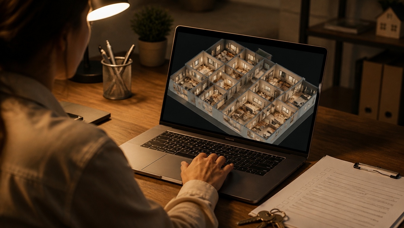
- A Matterport 3D tour preserves ornate detailing and existing conditions as a walkable, measurable digital record — captured without touching a single surface.
- Depth data captures what flat photos can’t: molding profiles, stair geometry, ceiling heights, and structural movement over time.
- The same scan serves restoration planning, grant applications, insurance documentation, education, and virtual access.
- Invision Studio’s Matterport 3D Tour Photographers capture historic spaces with the care fragile interiors demand.
Introduction: A Record That Outlives the Building
Preservationists understand a hard truth: you cannot restore what you never recorded. Millwork profiles that were custom-milled in 1888 cannot be reordered from a catalog. A staircase built by hand, riser by slightly different riser, cannot be reproduced from a guess. And when fire, water, or neglect takes its toll, the difference between faithful restoration and expensive approximation is the quality of the record made before the loss.
That is why Matterport 3D tours have become a quiet staple of historic preservation work. In this guide, our Matterport 3D Tour Photographers explain what a preservation-grade scan documents, why depth data matters for historic fabric, and how to plan a capture around fragile, often-occupied spaces.
Table of Contents
- Why Document a Historic Building in 3D?
- What a Preservation-Grade Scan Captures
- How the Record Gets Used
- Capturing Fragile and Occupied Spaces Safely
- Deliverables: From Walkthrough to Point Cloud
- Frequently Asked Questions
- Final Takeaway
Why Document a Historic Building in 3D?
Direct answer: A Matterport 3D tour preserves a historic building as a measurable, walkable digital twin — a record that survives fire, flood, remodeling, and time itself. Unlike a photo survey, the tour holds depth: it records not only what surfaces look like, but where they are and how the building fits together.
Traditional condition surveys rely on flat photographs, hand measurements, and written notes — records that lose context the moment the surveyor leaves. A 3D scan keeps everything in context, permanently. Years later, a conservator can stand virtually in the room, take a measurement off the model, and compare today’s condition against a dated baseline.
Tip our Matterport 3D Tour Photographers recommend: capture a baseline before any restoration begins — and re-scan after major phases. Two dated captures of the same space make change itself measurable.
What a Preservation-Grade Scan Captures
Direct answer: A preservation-grade scan documents ornate plaster and molding profiles, stone and brick condition, staircases and balustrades, original flooring and millwork, structural movement, and the hidden spaces — attics, vaults, and crawl areas — that most surveys never reach.
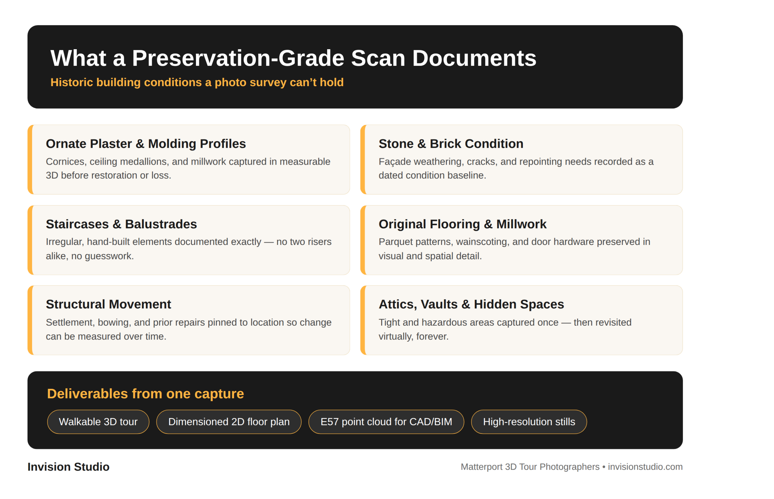
The depth dimension is what elevates this beyond photography. Because the capture records geometry, a millwork profile can be studied at scale, a stair’s irregular risers can be measured exactly, and a wall’s bowing can be quantified and compared across years. That is the difference between remembering a building and being able to rebuild it.
How the Record Gets Used
One capture serves an entire preservation ecosystem:
- Restoration planning. Architects and conservators work from accurate existing conditions instead of assumptions, reducing surprises behind plaster and lath.
- Grant applications and landmark reviews. A walkable 3D tour communicates significance and condition to boards, agencies, and donors far more convincingly than a photo board.
- Insurance and disaster response. A dated, measurable baseline is precisely what claims documentation requires if the worst happens.
- Education and access. Schools, historical societies, and the public can experience spaces that are physically fragile, restricted, or halfway around the world.
Tip our Matterport 3D Tour Photographers recommend: if your goal includes grant applications or landmark review, tell the capture team early. Where the tour starts and what it emphasizes should match the audience who will judge it.
Capturing Fragile and Occupied Spaces Safely
Historic interiors demand a careful hand. The capture is fully non-contact: a camera on a tripod moves through the space without touching walls, finishes, or artifacts, and each sweep takes under 20 seconds — important in buildings where vibration, dust, and crowding are real concerns. Routing is planned to protect floors and thresholds, and capture can be scheduled around operating hours, events, and resident or staff needs.
Privacy matters in occupied historic buildings, too. Sensitive areas can be excluded from the capture or blurred after the fact, so the record serves preservation without compromising the people who use the building every day.
Deliverables: From Walkthrough to Point Cloud
Every project starts with the walkable 3D tour itself — the artifact stakeholders can open from any device. From that same capture, deliverables scale to the project’s ambitions: dimensioned 2D floor plans for planning, high-resolution stills for publications and exhibits, and where scope calls for it, E57 point clouds and BIM/CAD files that drop directly into an architect’s design tools. One capture visit funds the entire package.
Frequently Asked Questions
Why document a historic building with a Matterport 3D tour?
Historic fabric is irreplaceable and fragile. A Matterport 3D tour preserves ornate detailing, spatial relationships, and existing conditions as a measurable, walkable record that survives even if the building does not.
What can a preservation-grade 3D scan capture that photos cannot?
A 3D scan records depth: molding profiles, stair geometry, ceiling heights, and structural movement are captured in measurable 3D — not just in flat images — and can be revisited from any device.
Is scanning safe for fragile historic interiors?
Yes. The capture is non-contact: a camera on a tripod moves through the space without touching walls, finishes, or artifacts, and each sweep takes under 20 seconds.
What deliverables come from a historic building scan?
A walkable 3D tour, dimensioned 2D floor plans, high-resolution stills, and — where scope calls for it — E57 point clouds and BIM/CAD files for architects and engineers.
Final Takeaway
Preservation has always been a race between documentation and loss. A Matterport 3D tour lets the documentation win — one visit, one non-contact capture, and a building’s craftsmanship is preserved in measurable, walkable detail for the historians, architects, and stewards who come next. If you steward a historic property, Invision Studio’s Matterport 3D Tour Photographers will help you capture it with the care it deserves — start with a baseline scan before the next restoration cycle.